Devpost
Participate in our public hackathons
Devpost for Teams
Access your company's private hackathons
Grow your developer ecosystem and promote your platform
Drive innovation, collaboration, and retention within your organization
By use case
Blog
Insights into hackathon planning and participation
Customer stories
Inspiration from peers and other industry leaders
Planning guides
Best practices for planning online and in-person hackathons
Webinars & events
Upcoming events and on-demand recordings
Help desk
Common questions and support documentation
Pokémon GO for NYC's trash problem — AI-verified cleanups, real 311 bounties, real rewards from local storefronts.
As NYC changes, the lived stories and experiences that give neighborhoods their meaning can become disconnected from the places themselves. NYC, scrapbooked, explores collective memory preservation.
An accessibility-first NYC transit planner that checks subway access by platform and direction, warns about return-trip barriers, and evaluates nearby curb ramps.
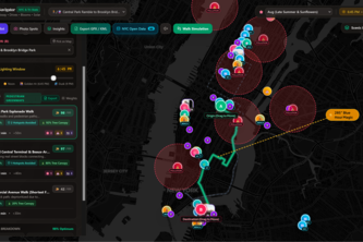
LLLoud is a real-time, walkable pedestrian navigation and noise pollution mapping application designed for New York City.
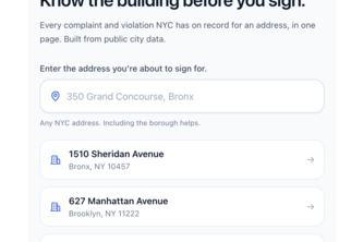
The walkthrough tells you how the apartment looks. This one tells you how the building behaves: seven NYC datasets, one letter grade, every number linked to its source.
LOVE NYC uses AI to turn NYC Open Data into warm daily stories—helping New Yorkers discover local events, new greenery, city improvements, and record and share positive moments from their own lives.
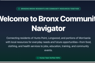
I’m a social worker building a local navigator connecting Bronx Community Board 2 residents to essential resources, education, and career opportunities.
The city but better
NYC renters hand brokers their SSN & tax returns just to apply. MiddleMan verifies income via Plaid & ID via Stripe, so landlords get facts a fake pay stub can't beat, and renters share almost nothing
Directory of resources available in NYC
An accessible transit app that finds step-free routes, shows elevator status, and reroutes users when elevators are out of service.
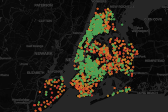
Google Maps gives you the fastest way home. SafeRoute NYC gives you the safest routing around the blocks where NYC's own data shows people are most likely to get hurt.
NYCRevive: For the New Yorker looking to revitalize their careers.
Free food maps tell you where. Curb Cut tells you if a wheelchair, walker, or stroller can reach it — MTA elevator status, USDA meal sites, NYC Open Data and Census, every claim sourced and dated
Need an easier way to discover NYPL or NYC Open Data? The NYC Urban Intelligence webapp enables natural language search and visualization of NYC-specific data via an extensible agent infrastructure
How can we make African Food more accessible to customers who currently have to travel far to buy it.
Pastel Gotham: Explore NYC as a cute rat or pigeon! Use real city data to find trees, art & landmarks. Earn rewards for cleaning up and exploring in this gamified stewardship app.
This will help someone find the closest store with fresh fruit & vegetables, areas that are lacking in fresh produce; will let leaders to focus on areas that should have produce for a healthier City.
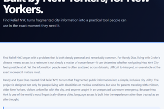
Find Relief NYC turns NYC public data into fast, accessible restroom and amenity access—helping people with urgent needs, disabilities, families, and everyday New Yorkers navigate with confidence.
Headpat as many animals as you can in 30 seconds!
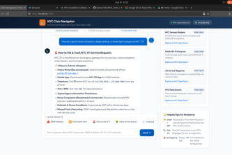
An AI assistant bridging New Yorkers to real-time open data for SNAP markets, Wi-Fi hubs, and local services in plain English
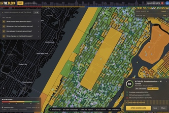
Every city block has a story. The Block reveals the buildings, services, safety, transit, events, changes, and community behind it, with AI to help you understand it all.
Flow right through the pages with Flo-Write. The text editor web app designed for artists to make more art.
Mapping and solving NYC's class size compliance challenges.
25 – 48 of 66